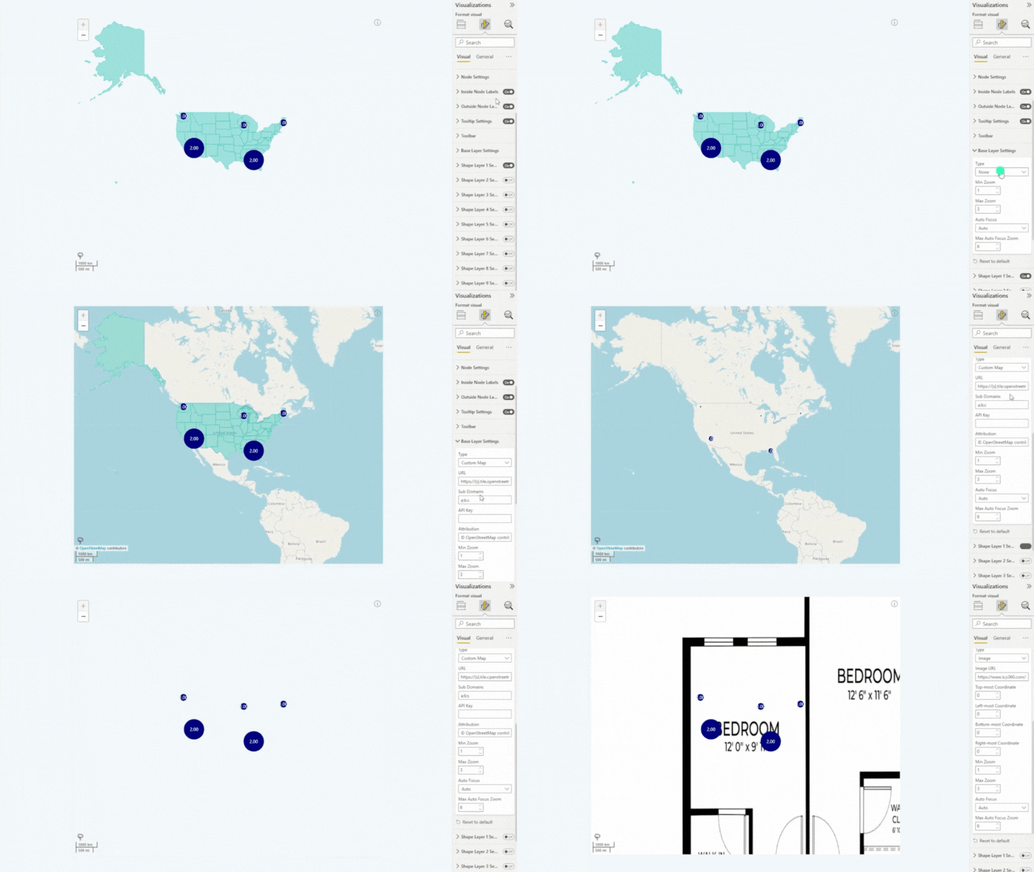
Various Map Layers
Enjoy flexibility and choice by having full control over the base layer of your map chart. You can choose which map layer is used and adjust its behavior in the Base Layer section of the Format Visual tab.
You can select Microsoft Azure Maps or choose a custom tile server (OpenStreetMap, Google Maps, CartoDB, etc.) by entering its URL and your own API key if needed.
In addition, you can use a custom image and manually assign coordinates, allowing you to create highly specific maps for unusual use cases, such as floor plan of a facility. Alternatively, you can disable the base layer entirely if you wish to display just the shape layers.

Was this helpful? Thank you for your feedback!
Sorry about that.
How can we improve it?