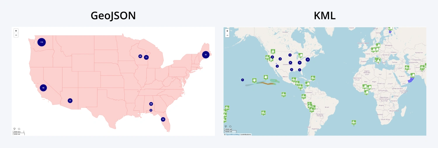
Storable Custom Shapes
Visually distinguish regions or points-of-interest and enable easy data filtering with custom shapes! In Drill Down Map PRO, you can add up to nine custom shape layers or create your own shapes using the Lasso tool. Each shape layer can be individually configured - you can even display specific shape layers at certain zoom levels, adjust appearance and use conditional formatting.
You can create shape layers using the built-in shapes (world countries, USA states, UK, or Australia), create Node Reach shapes, or use external KML or GeoJSON files. ZoomCharts also provides a free Geo Proxy service for all PRO users of Drill Down Visuals for your KML/GeoJSON files– head to your ZoomCharts profile and visit the Geo Proxy page.

Was this helpful? Thank you for your feedback!
Sorry about that.
How can we improve it?