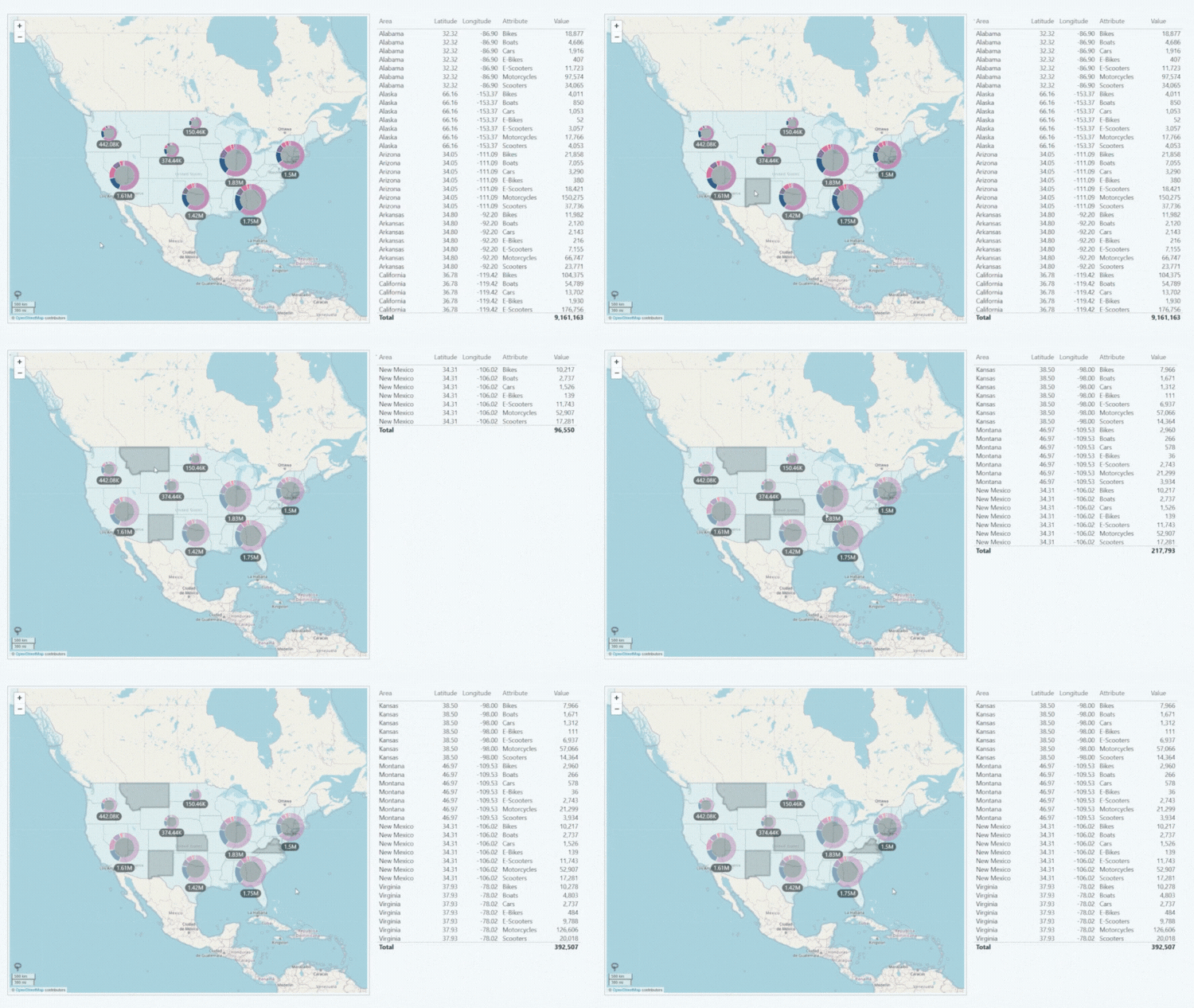
Filtering by Shape
Shape Layers can not only be used to visually distinguish different areas on your map, but also as a way to filter data. When the user clicks or taps on a shape, the visual will highlight all nodes within it and apply a filter. Multiple shapes can be selected with Ctrl+Left Click.
Combined with cross-chart filtering, you can use Drill Down Map PRO as an interactive navigation tool, allowing users to quickly filter data in other visuals and find insights that are relevant to a specific location.

Was this helpful? Thank you for your feedback!
Sorry about that.
How can we improve it?